Letters are from 2022 and again in Mar. 2023, and nothing has changed. They are still using heavy equipment below the high tide mark. The Surveyor still sits grinding, the rust bucket barge sat and scraped back and forth until it was brought upland. Went back to March 2024 for some pics.
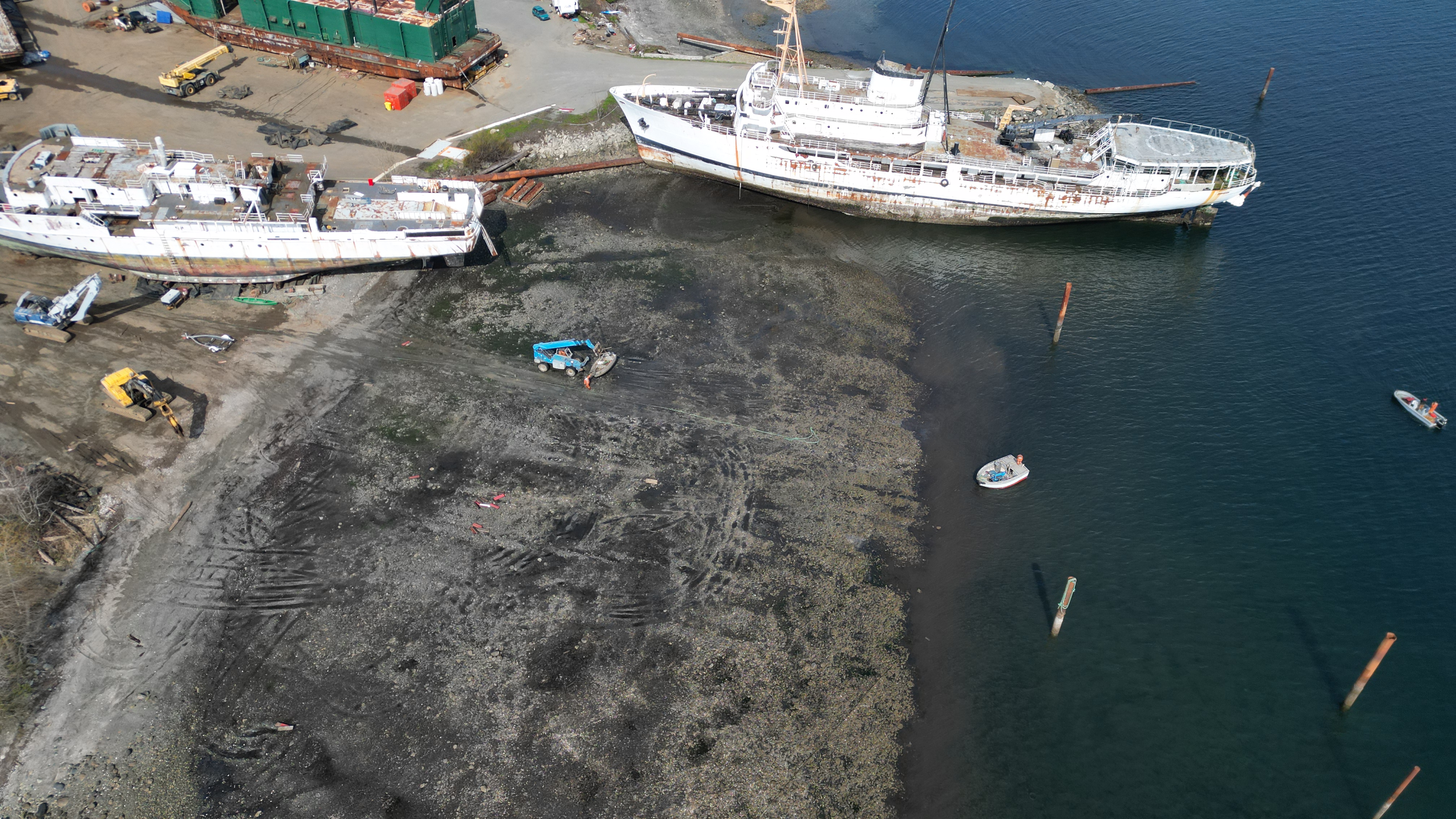
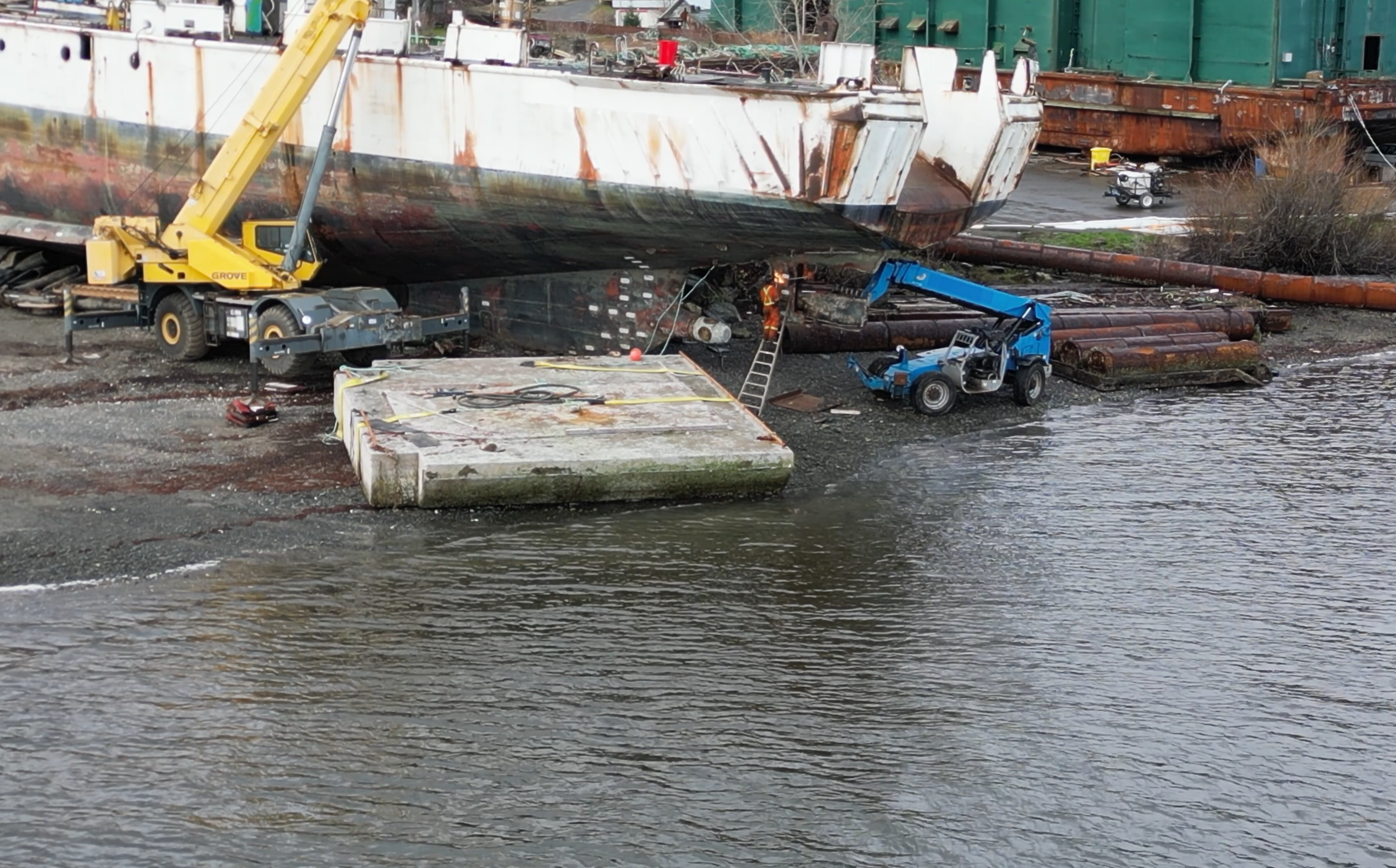
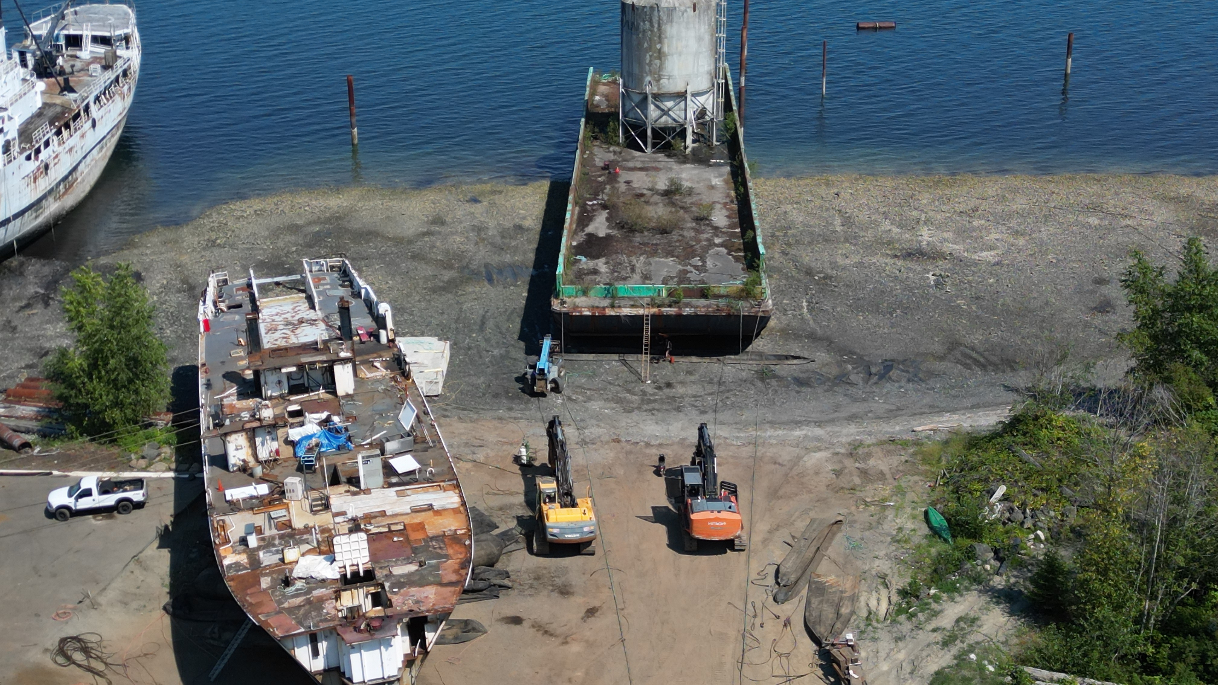
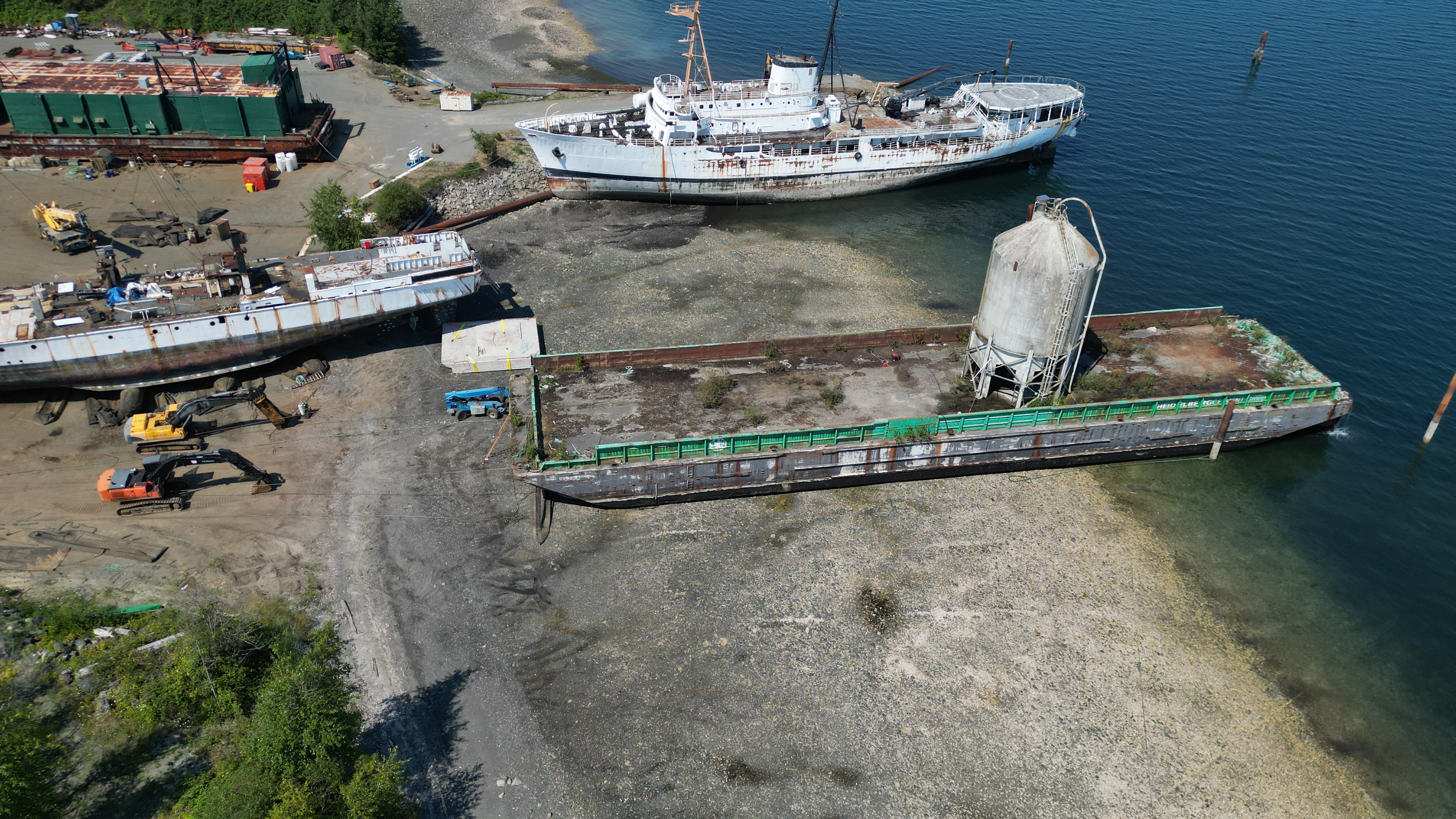
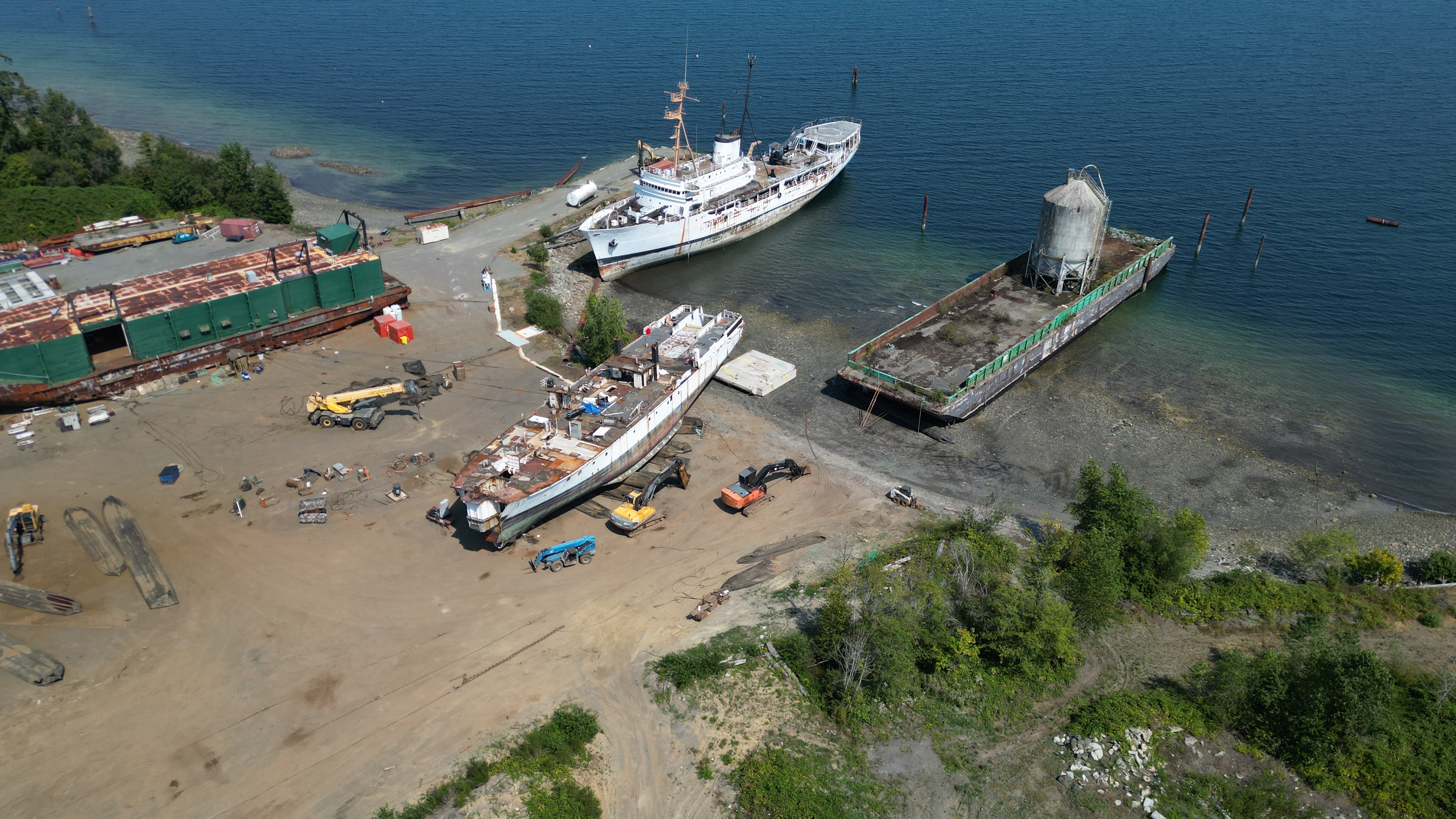
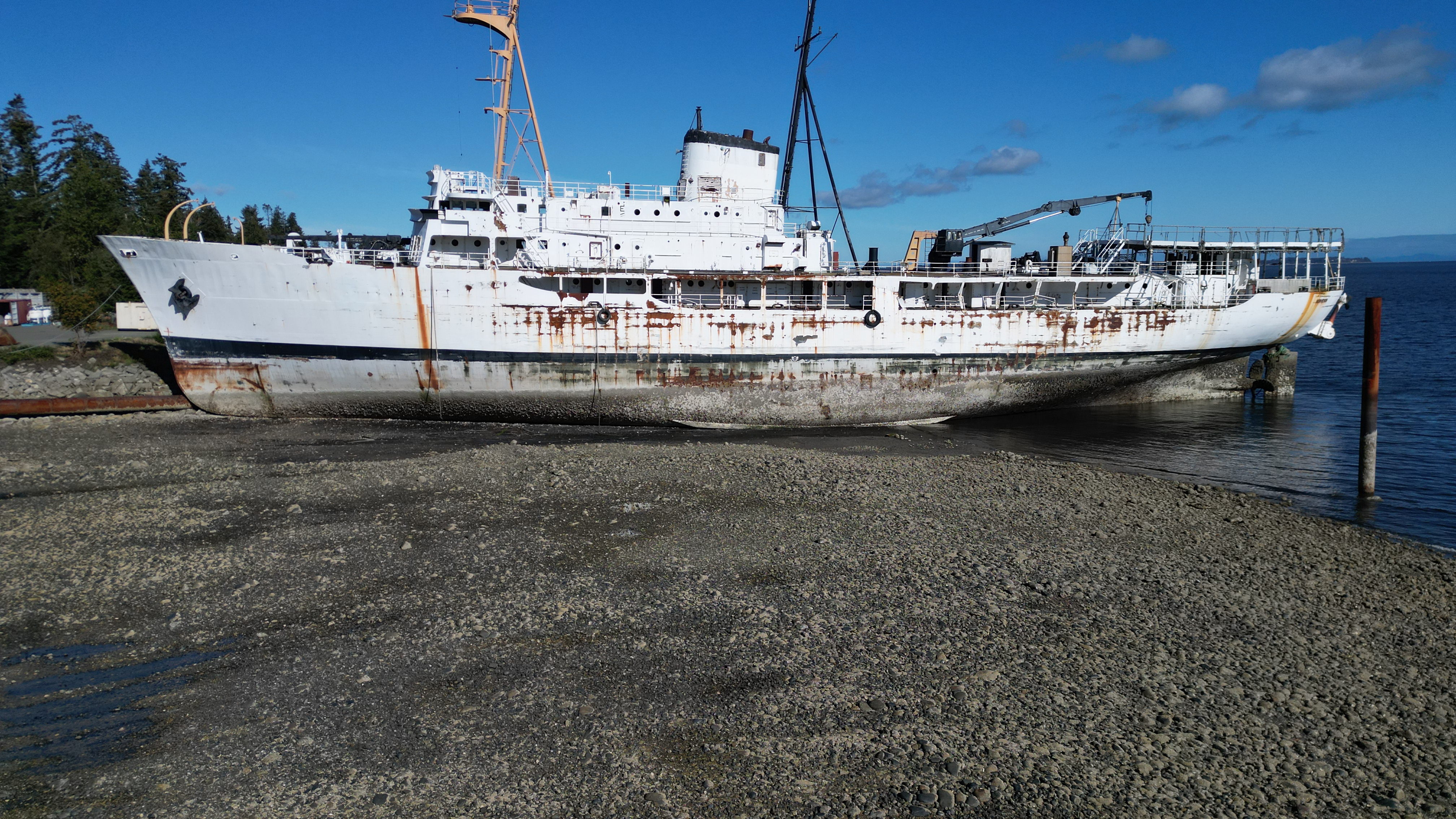
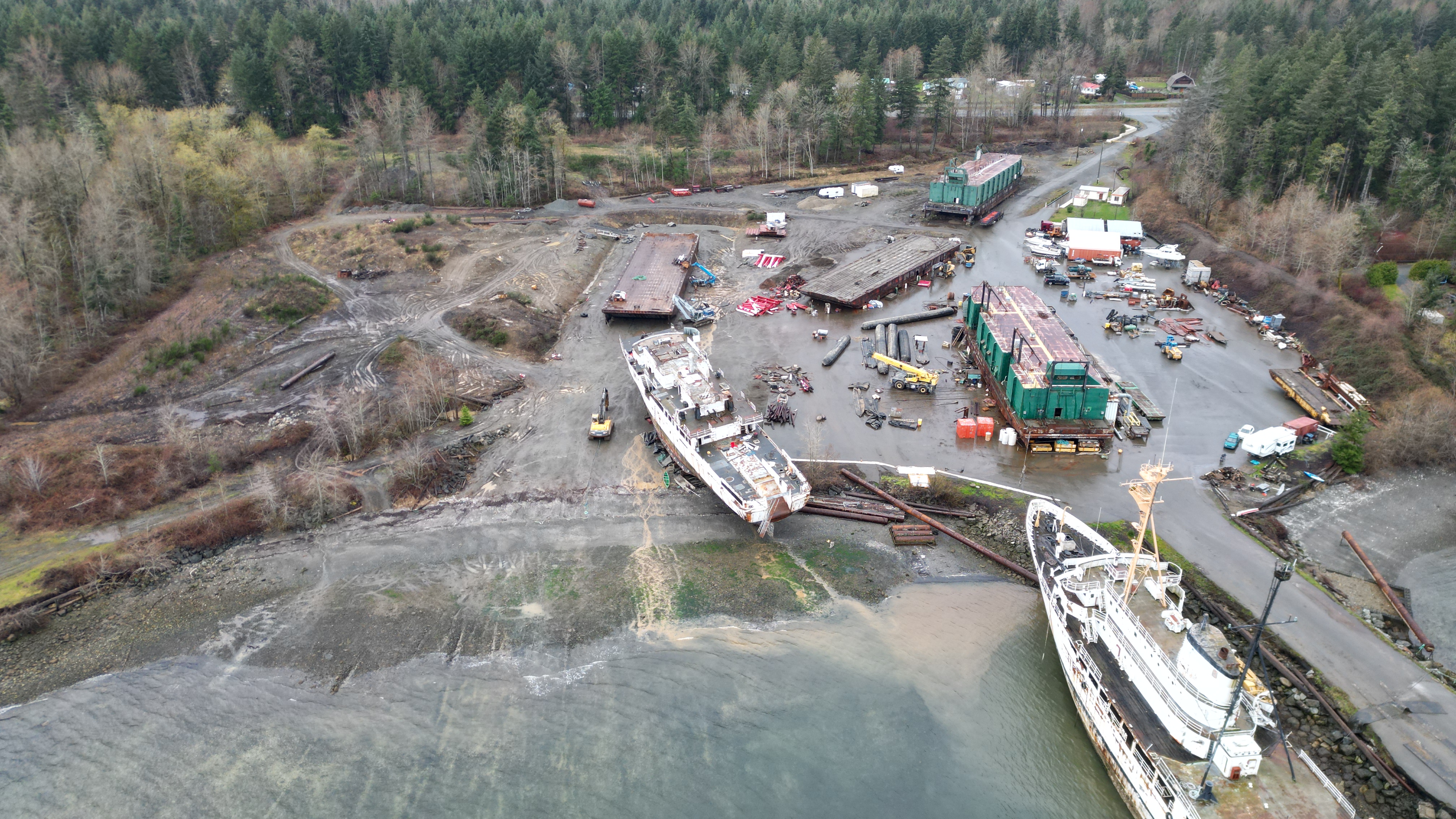
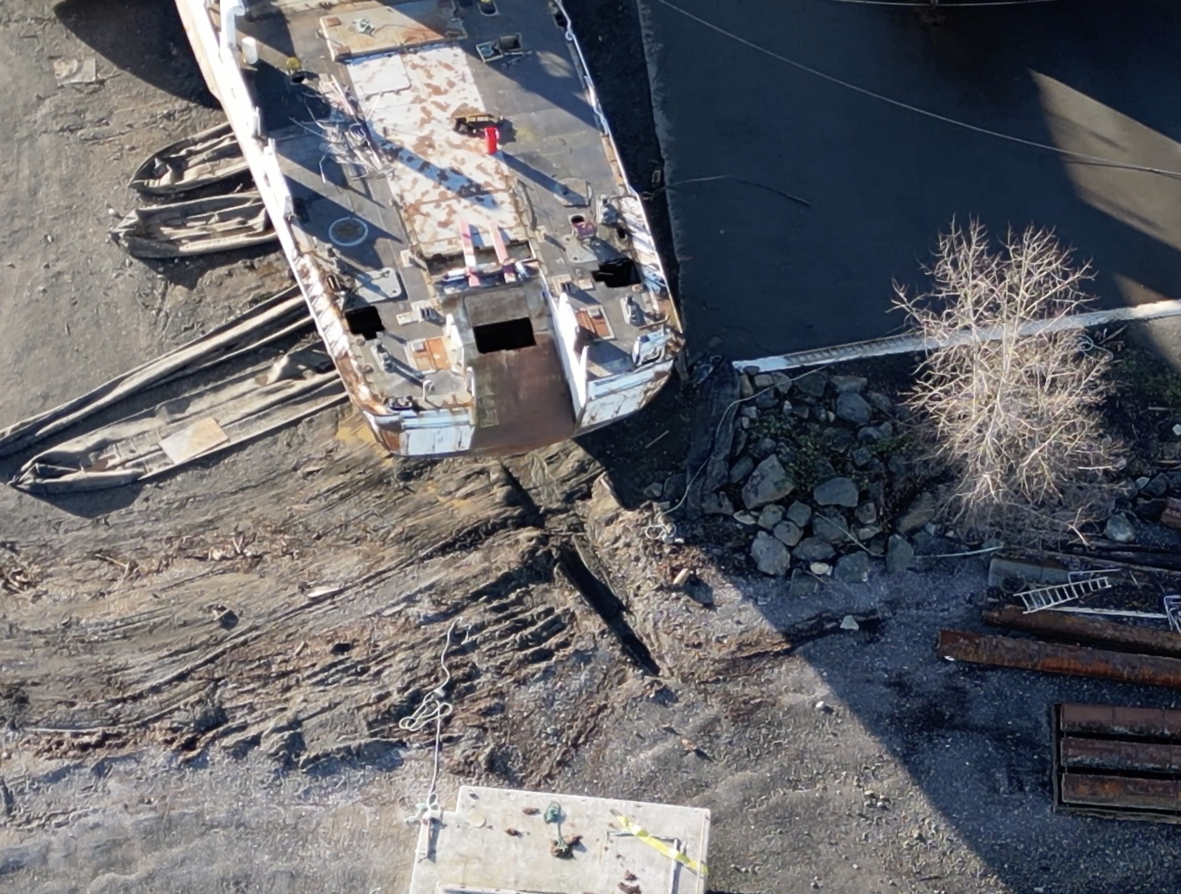
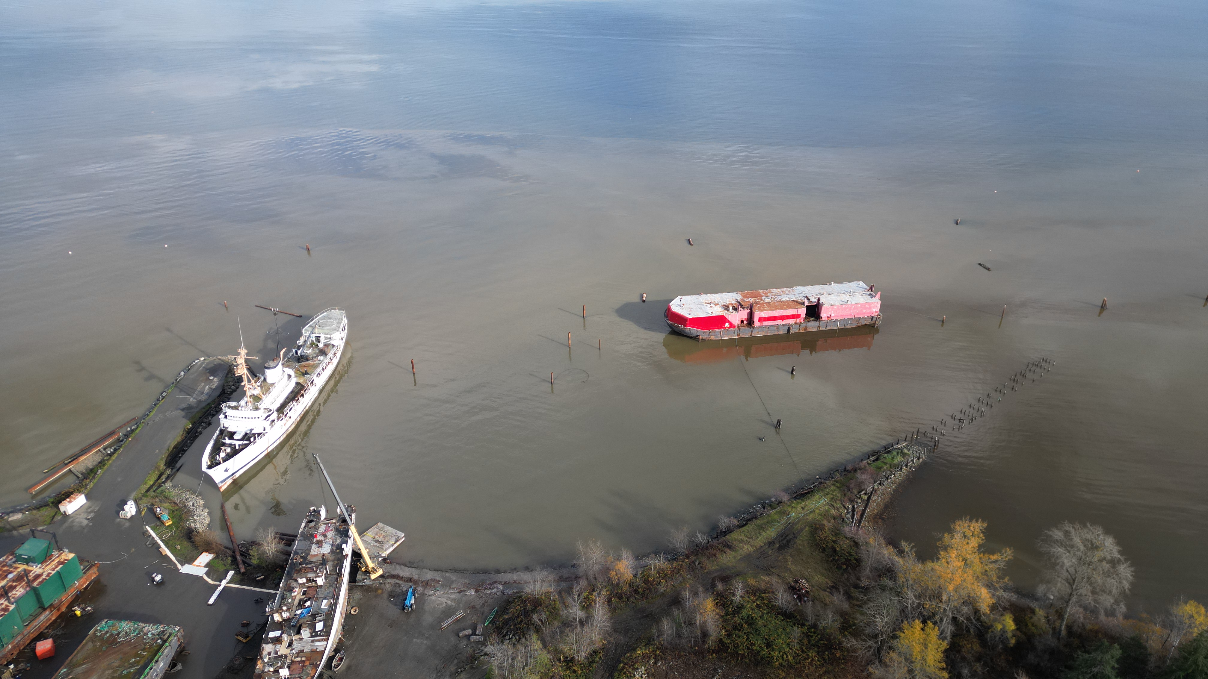
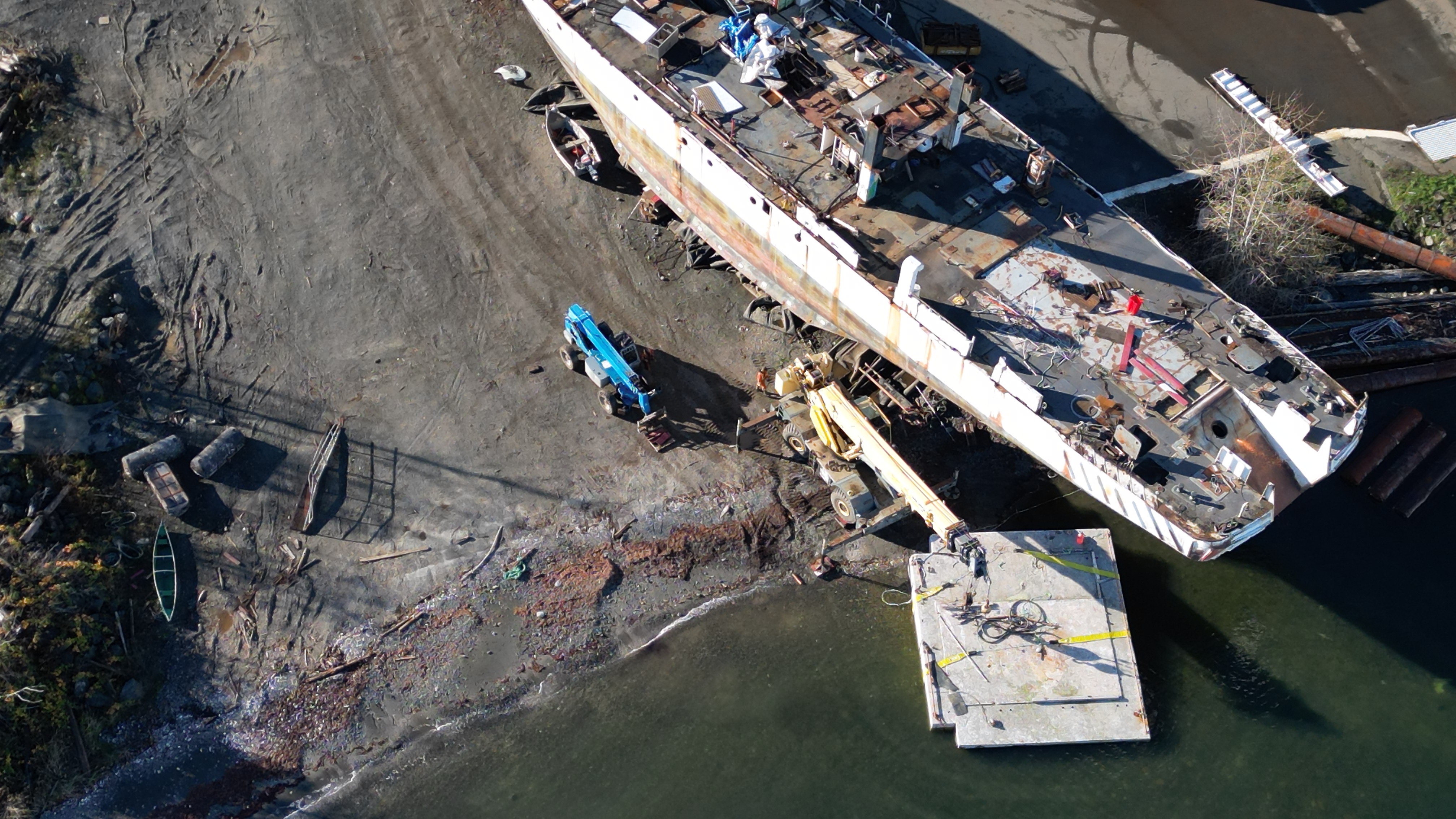
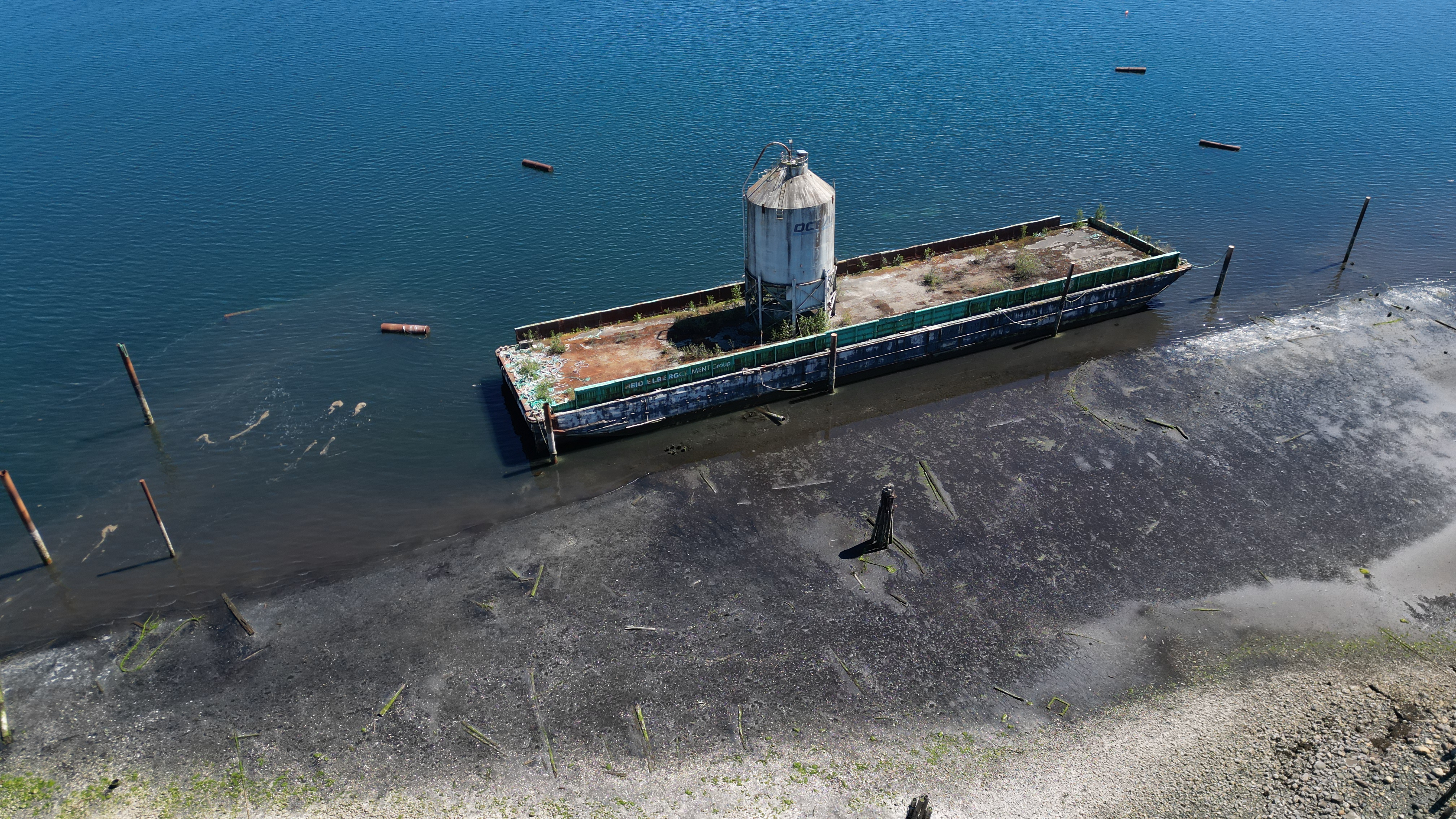
• The two vessels moored adjacent to the jetty have a combined footprint of approximately 1,650 m2 based on the length and beam of the vessels. Impacts from both vessels come from the disruption of habitat where they are grounded and additional shading impacts reducing primary productivity in the intertidal zone. Both vessels would have also resulted in the death of epifaunal organisms with their footprints.
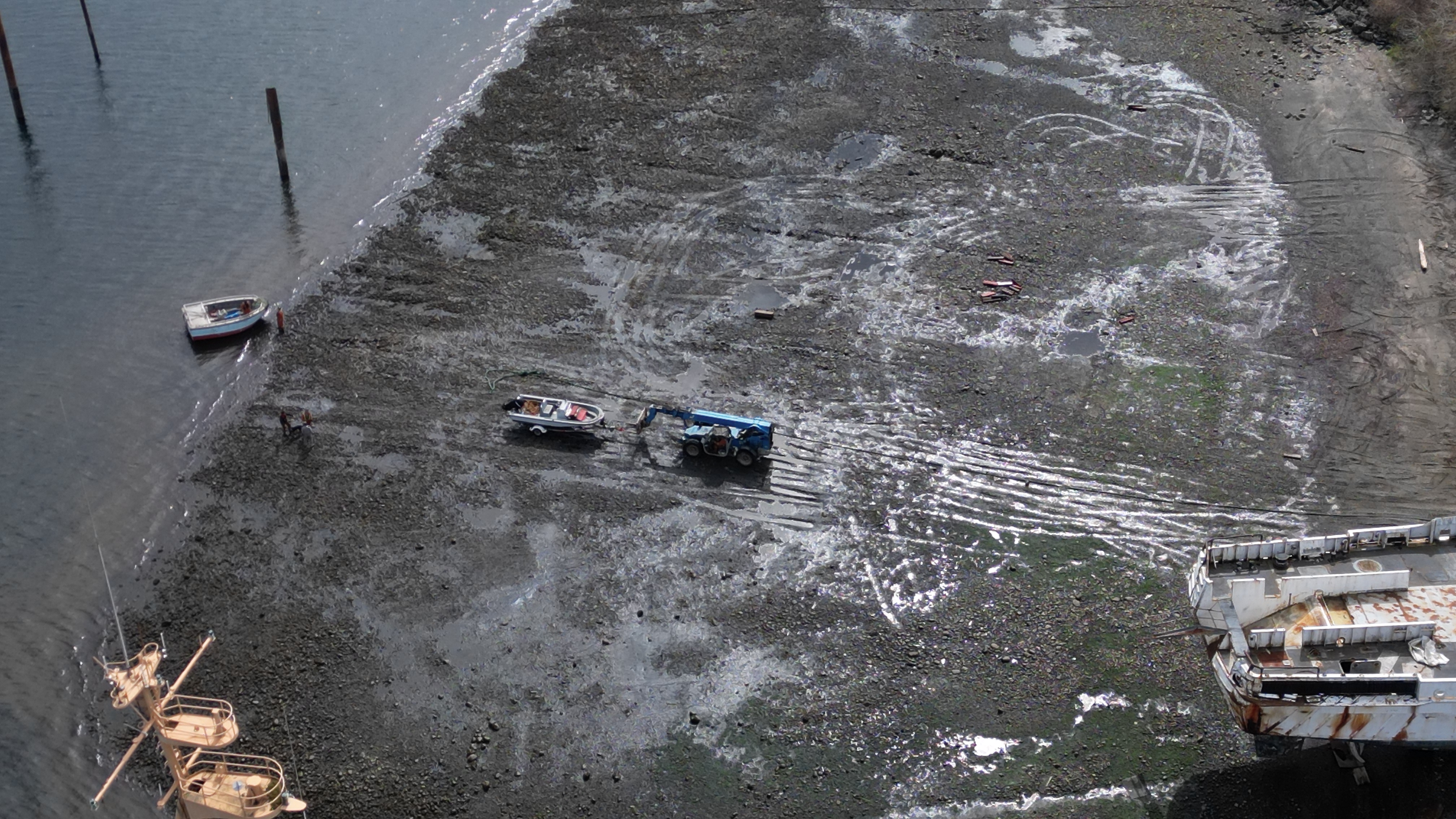
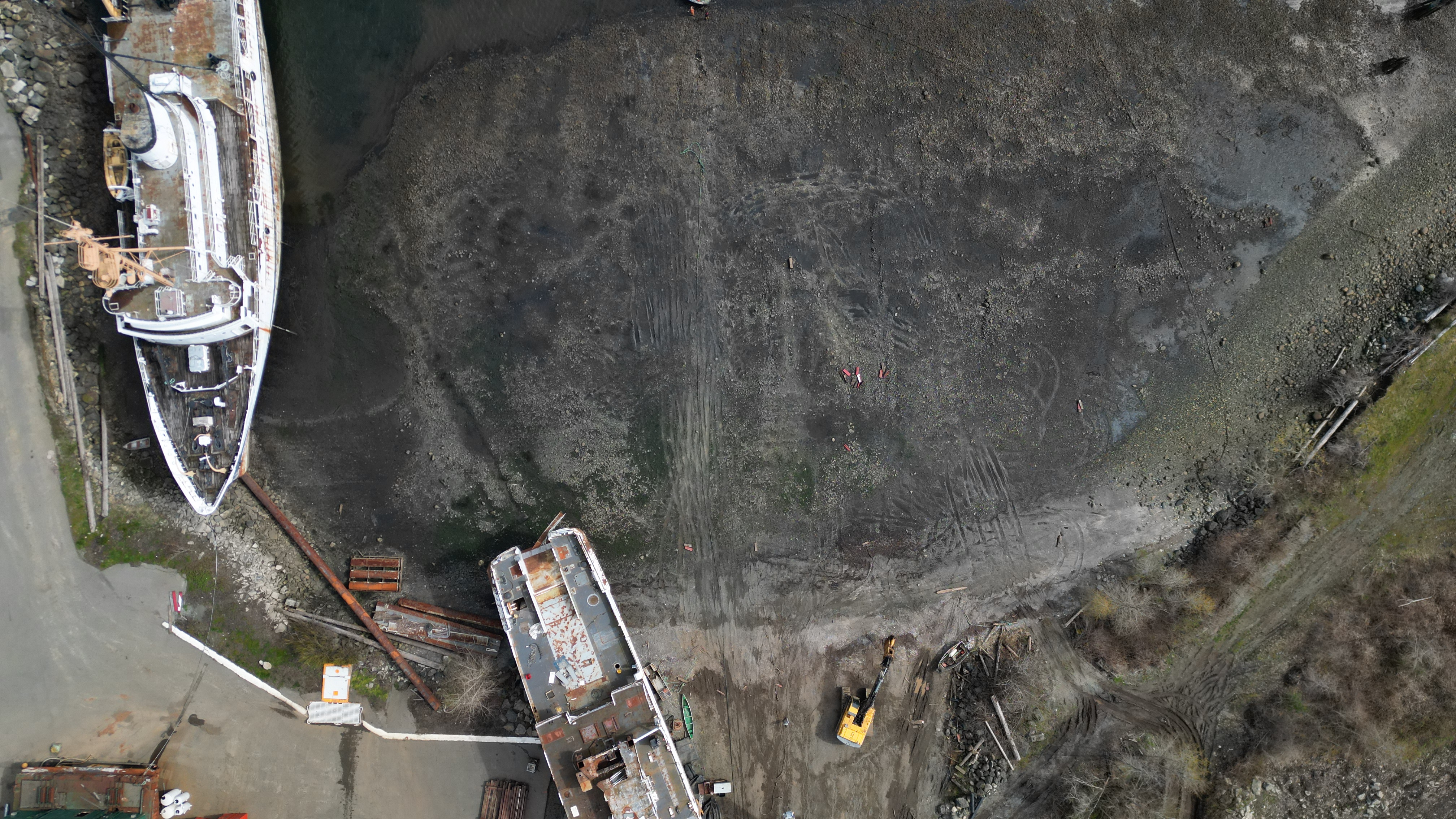
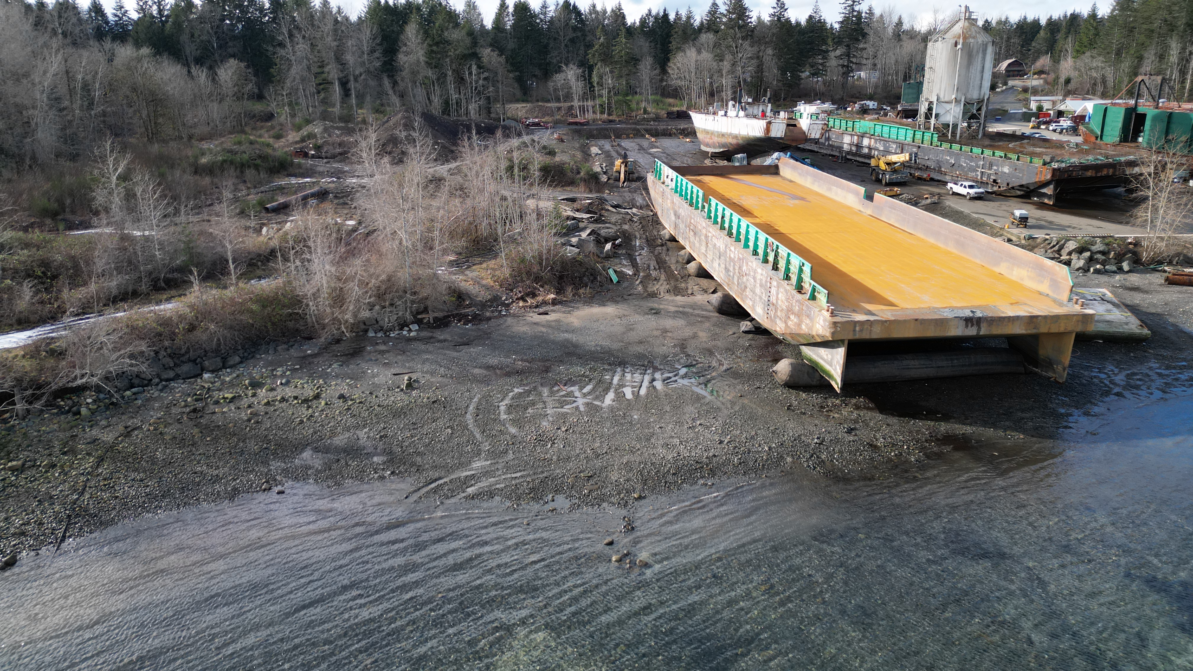
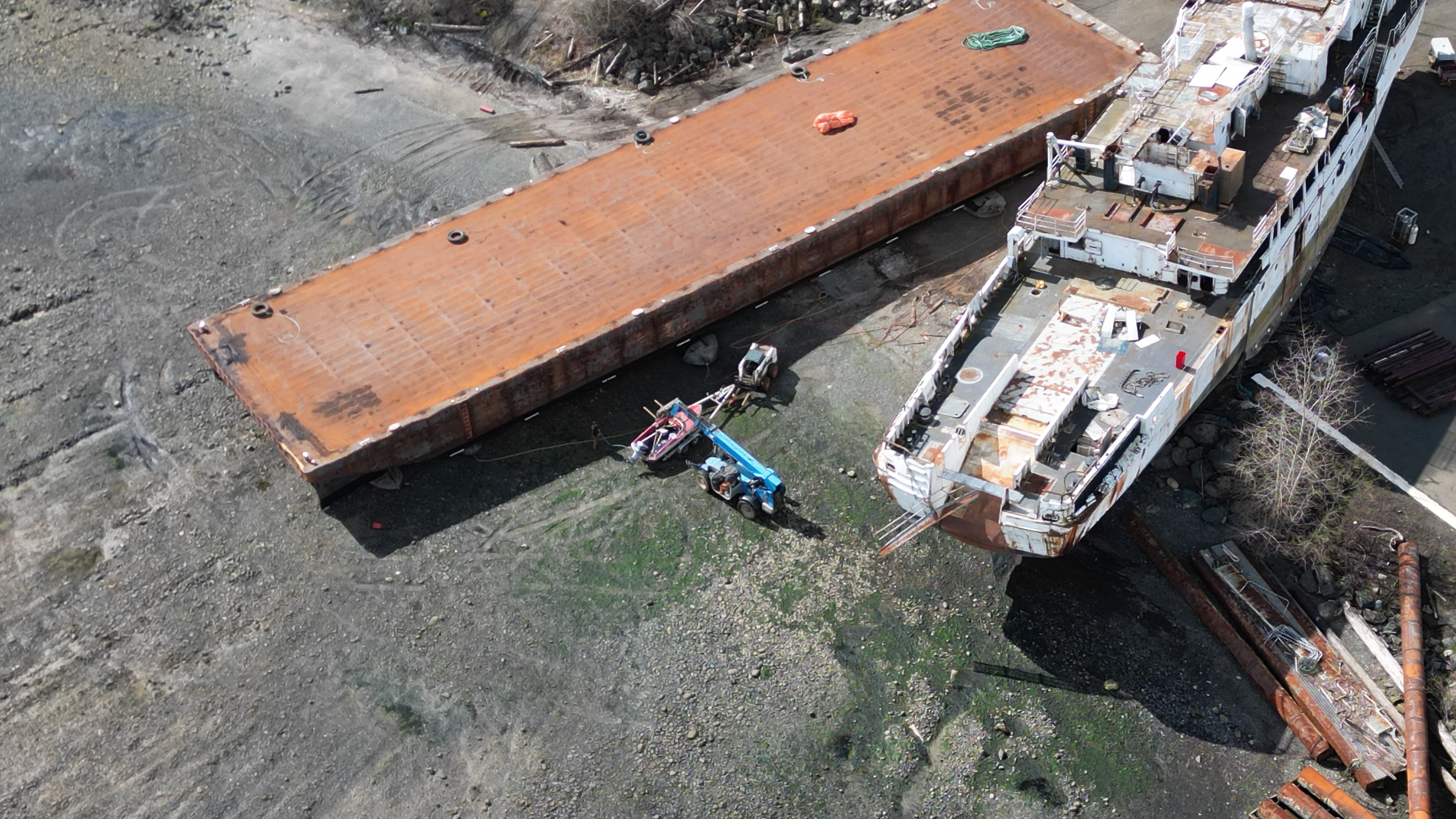
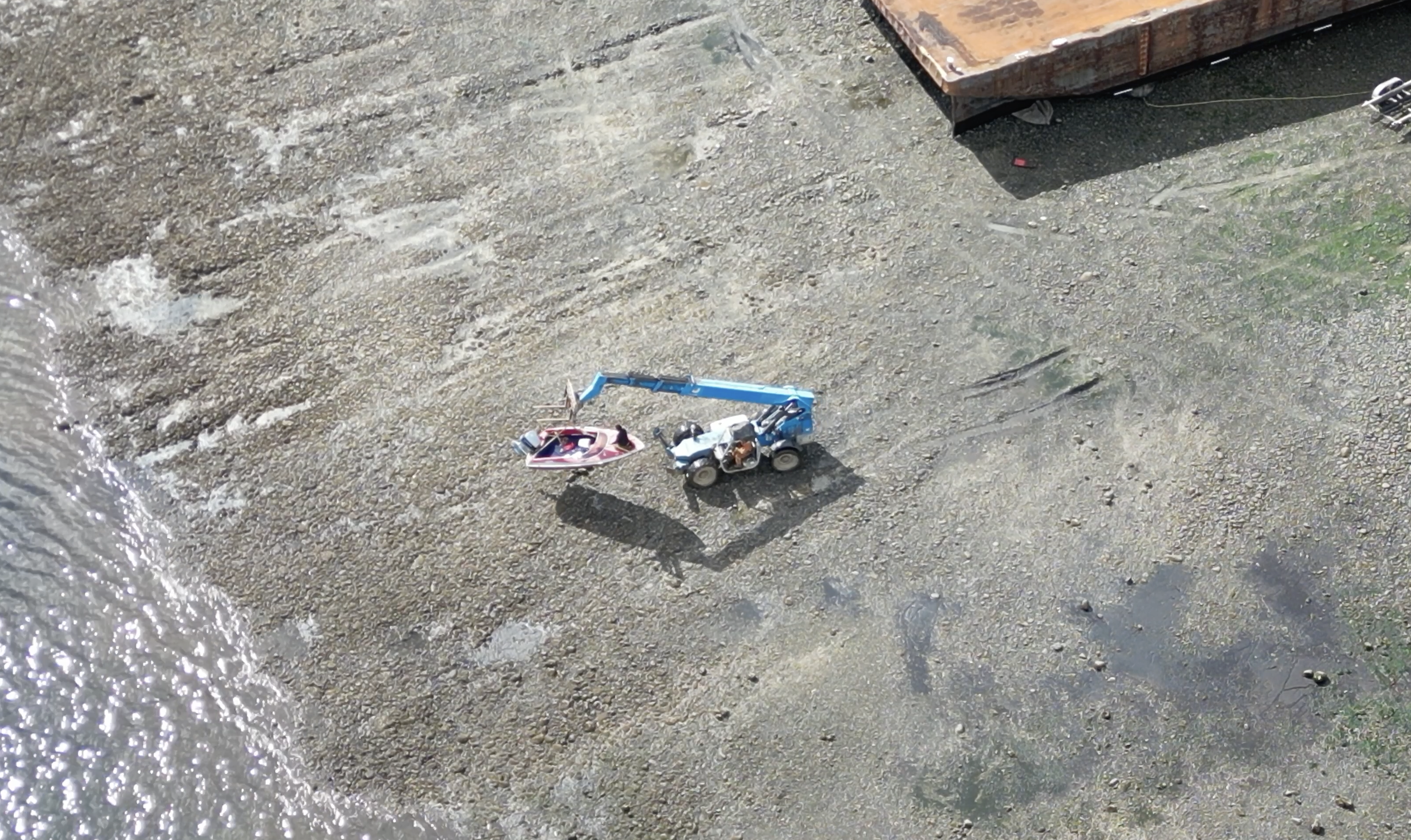
• Tracked equipment access into the mid intertidal zone has resulted in the harmful alteration of greater than 1,000 m2 of mid intertidal habitat. It is unknown how far or to what elevation into the intertidal zone the equipment were driven. Theobserved tracks were outside of the disturbance footprint associated with barge removal. The footprint may be greater as not all intertidal areas could be assessed due to the tide height at the time of the site inspection. Habitat impacts from the equipment access included disturbance and compaction of the substrate. This resulted in changes to the existing intertidal community through changes in habitat complexity from compaction of the substrates and crushing of organisms that provided additional roughness and complexity (e.g., barnacles, oysters). The operation of equipment below the high water mark would have also resulted in the death of bivalves and other infaunal organisms from crushing. The reduction in habitat complexity and crushing would reduce the productivity of the mid-intertidal zone including the abundance of epifaunal and infaunal organisms and how the habitat can be used by fish to carry out their life processes.
• Immediately remove all the vessels that are continuously grounding out in the intertidal area; either from the water or moved to an area deep enough to prevent the continuous grounding of the vessels.
• Come up with a plan to have the vessels staged in an area that removes the vessel from the water without heavy machinery working below the high water mark and inside of the intertidal area.
• A plan must be developed to address the aforementioned corrective measures. The plan shall be designed, planned and implemented with the assistance/guidance of a Qualified Environmental Professional (QEP) to ensure further harmful alteration, disruption or destruction of fish habitat does not occur while complying with thisDirection. The plan shall be in place prior to any work occurring, unless otherwise directed by a Fishery Officer, and it must be submitted to Fishery Officer Shaun Tadei. A copy of the plan must be kept onsite to assist Fisheries and Oceans staff who may monitor the works.
These corrective measures must be fully implemented within 85 days of receipt of this Direction J u n e 8 2023