

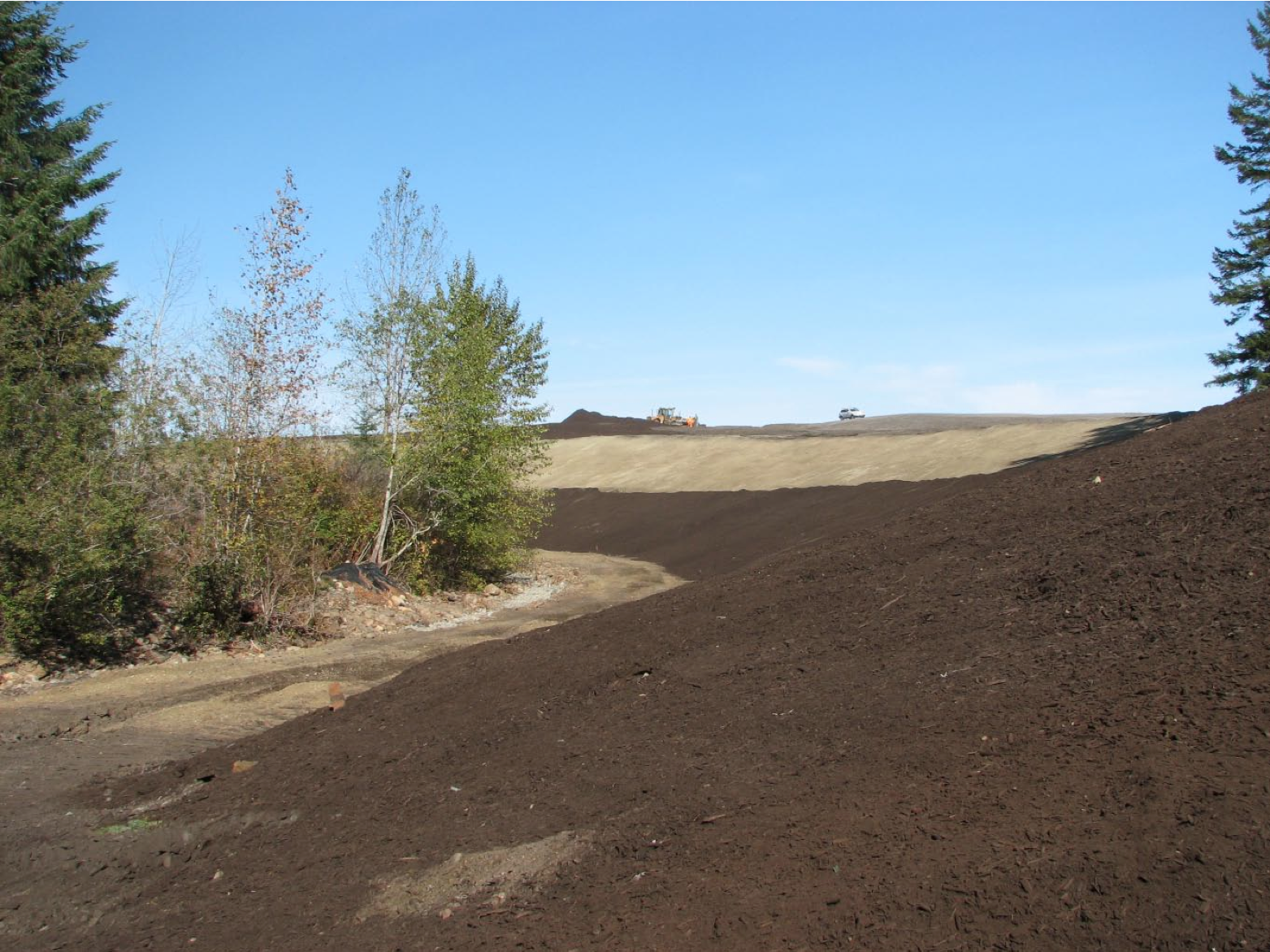
Came across this pdf I created from pictures taken when the restoration was taking place on Washer (Hart) Creek. Most of it has eroded since that time. The dark material on the slopes is Sky Rocket – never to be used as a topping. So much for caring about what flows/seeps into the creek.
The first 4 images are pictures of the sign posted by KIP outlining the work and area, the remainder are my images.
Click link to view: washer creek restoration
EDIT: Sorry, just noticed it should be called Washer Creek Relocation according to the KIP sign.
